|
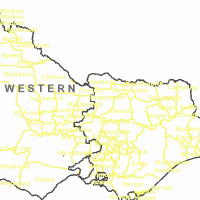
Width: 400 Height: 400 Extent:
YMin: 2290763.7644842356 XMax: 2797083.513574238 YMax: 2828133.5892238854 Spatial Reference: 102171 (3111) Scale: 5077500.000000003 |
| ArcGIS REST Services Directory | Login | Get Token |
| Home > services > vsw_boundaries (MapServer) > export | Help | API Reference |
|
|
Width: 400 Height: 400 Extent:
YMin: 2290763.7644842356 XMax: 2797083.513574238 YMax: 2828133.5892238854 Spatial Reference: 102171 (3111) Scale: 5077500.000000003 |