|
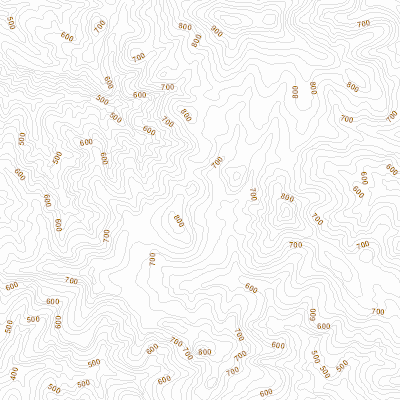
Width: 400 Height: 400 Extent:
YMin: 2457423.8015876096 XMax: 2762731.3102120603 YMax: 2462438.1701314095 Spatial Reference: 7899 (7899) Scale: 47379.76549665711 |
| ArcGIS REST Services Directory | Login | Get Token |
| Home > services > standardMap > Contour_Map (MapServer) > export | Help | API Reference |
|
|
Width: 400 Height: 400 Extent:
YMin: 2457423.8015876096 XMax: 2762731.3102120603 YMax: 2462438.1701314095 Spatial Reference: 7899 (7899) Scale: 47379.76549665711 |